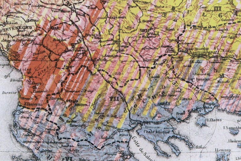
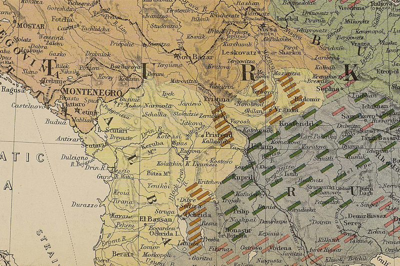
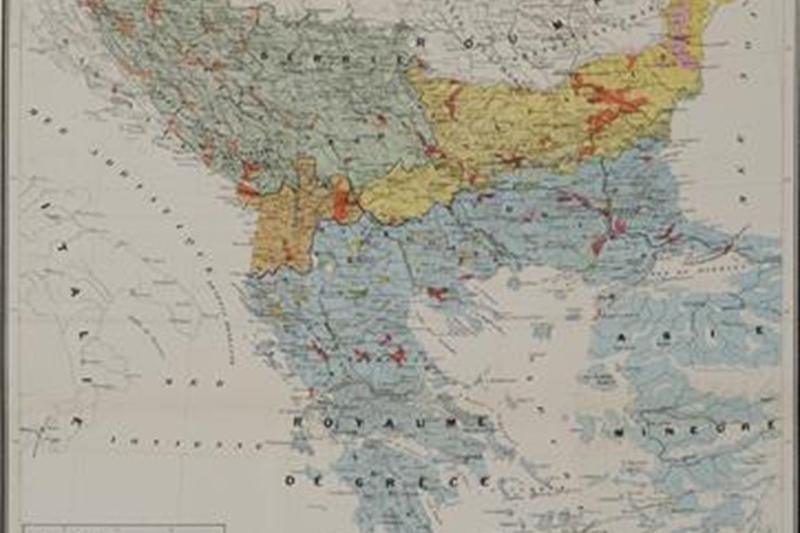
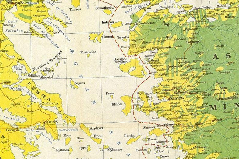
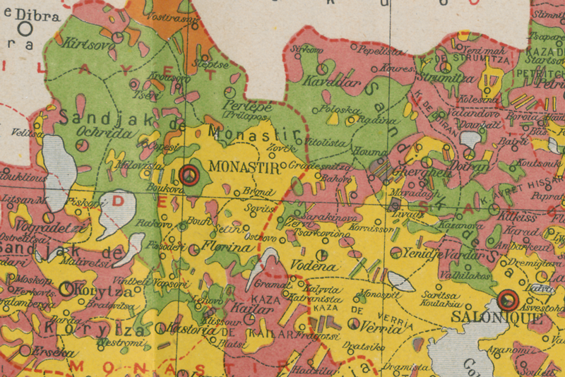
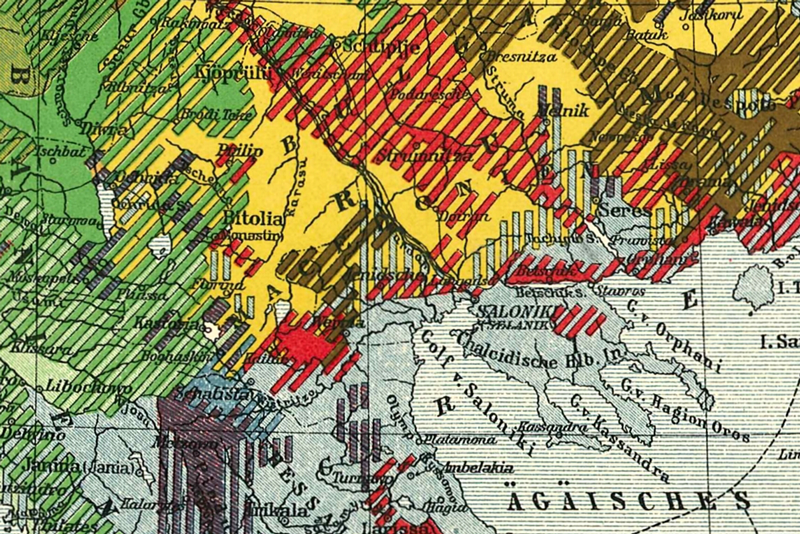
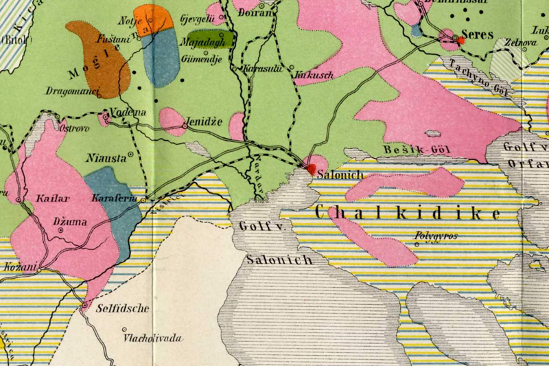
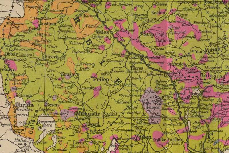
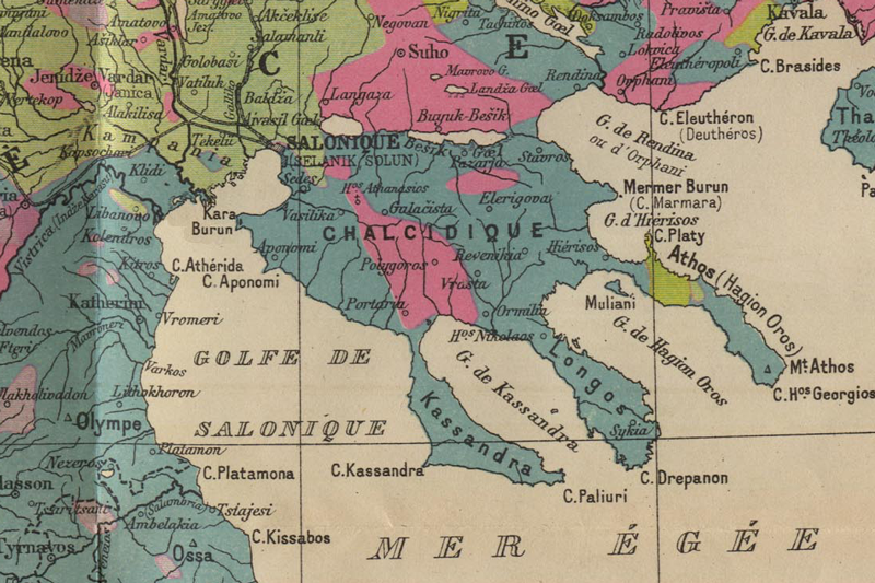
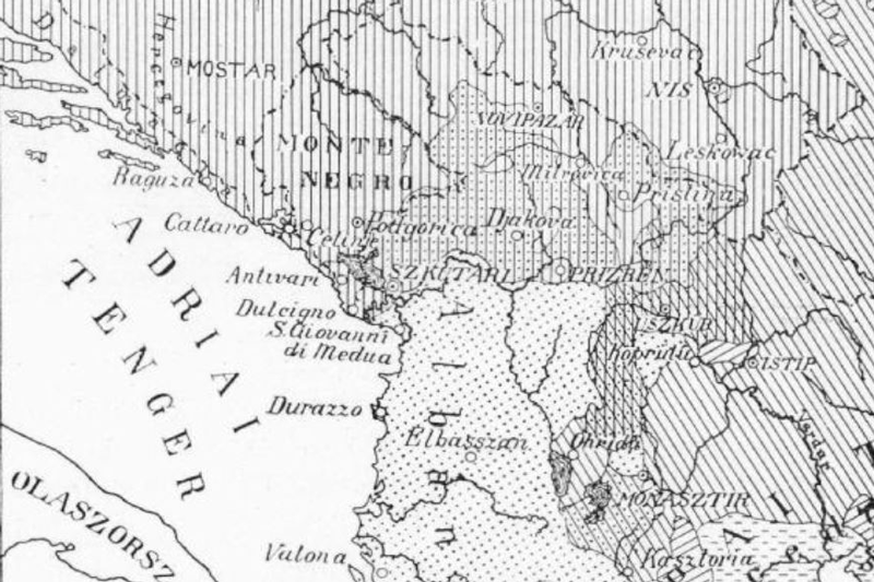
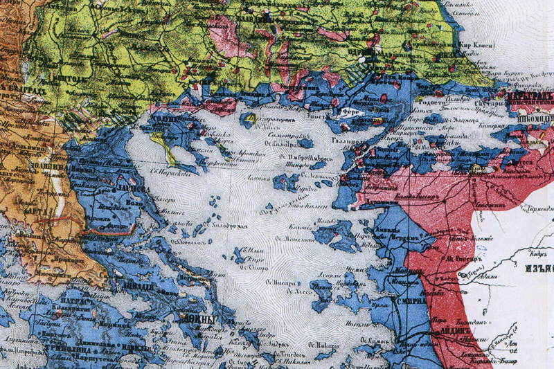
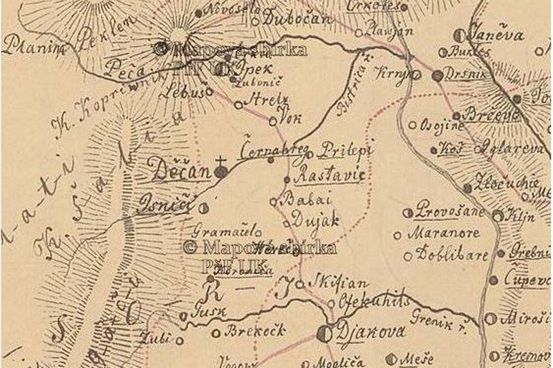
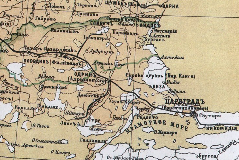
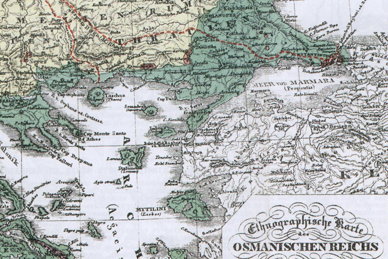
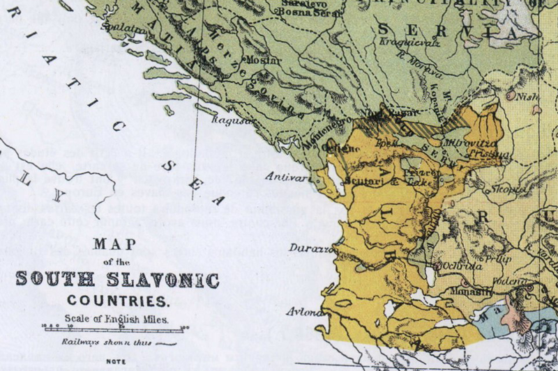
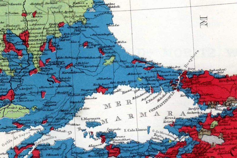
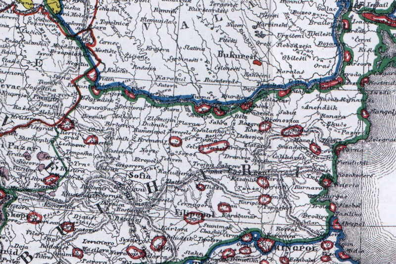
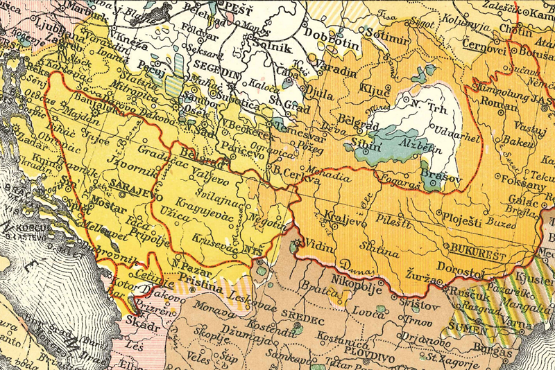
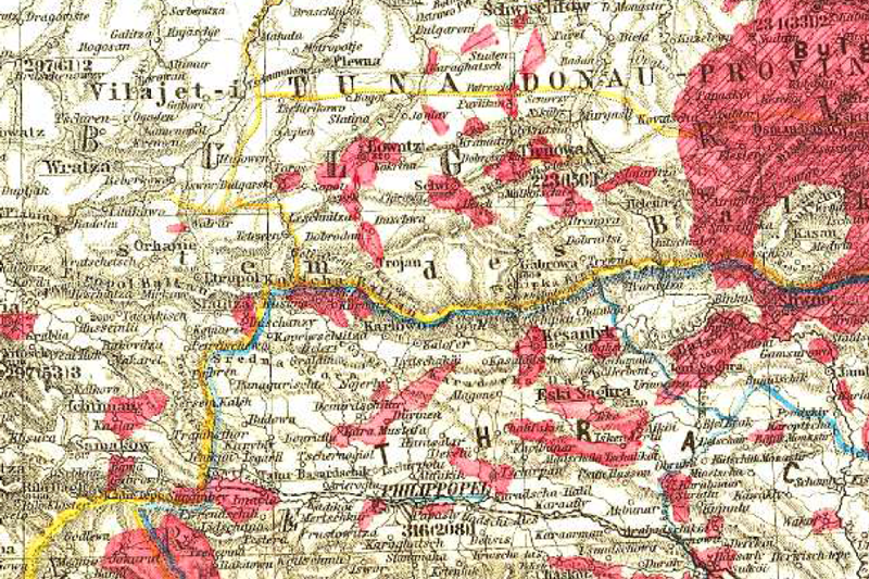
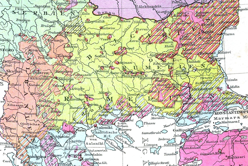
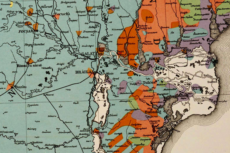
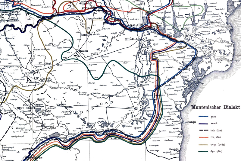
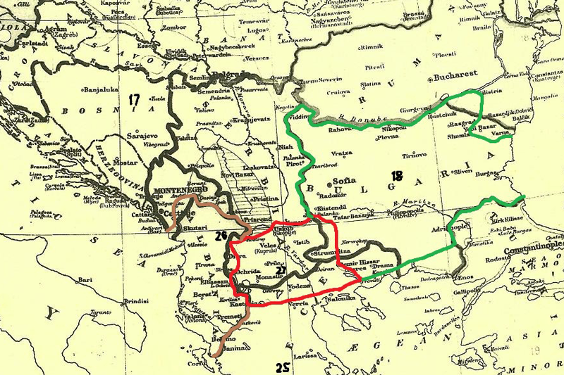
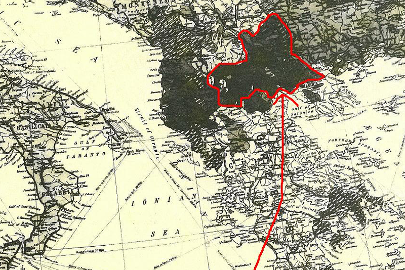
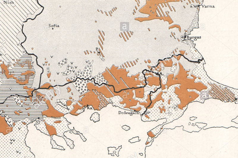
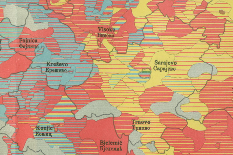
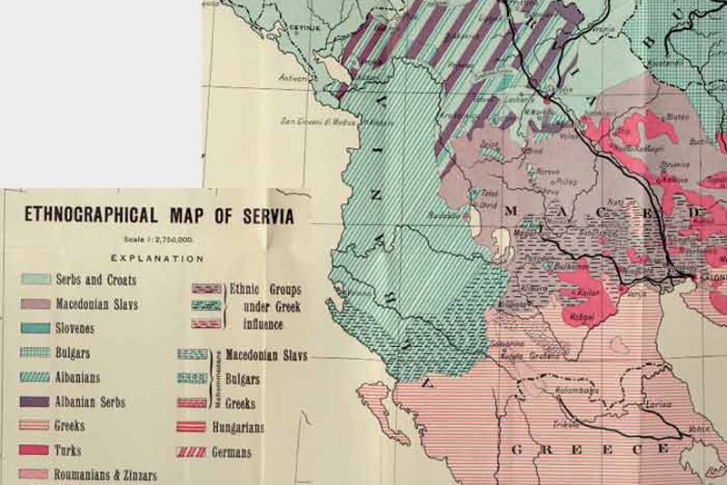
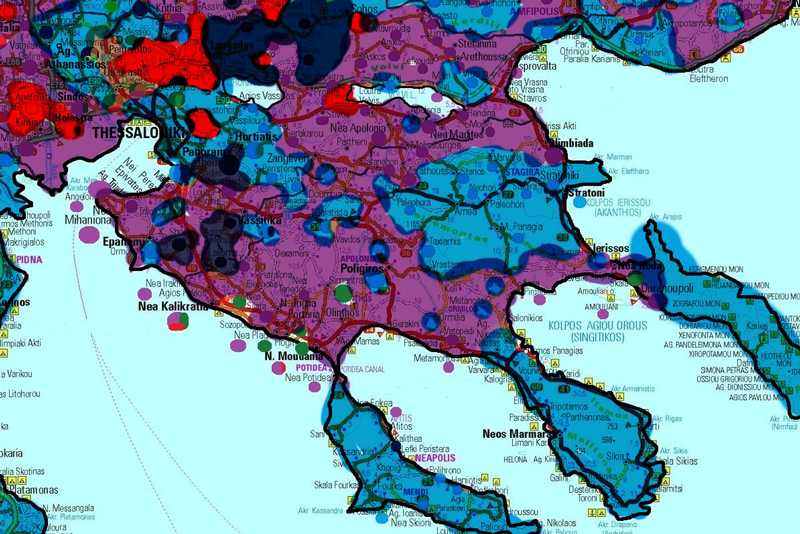
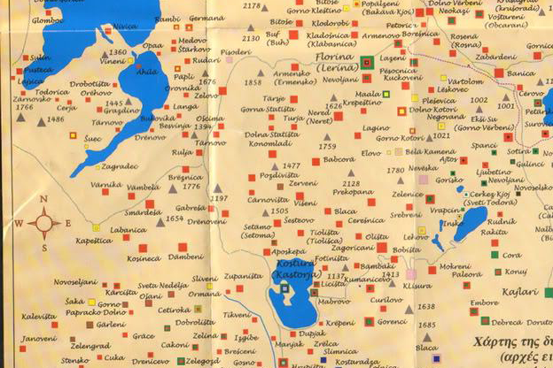
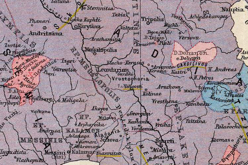
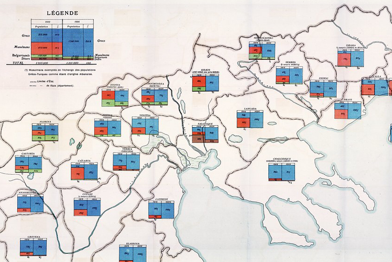
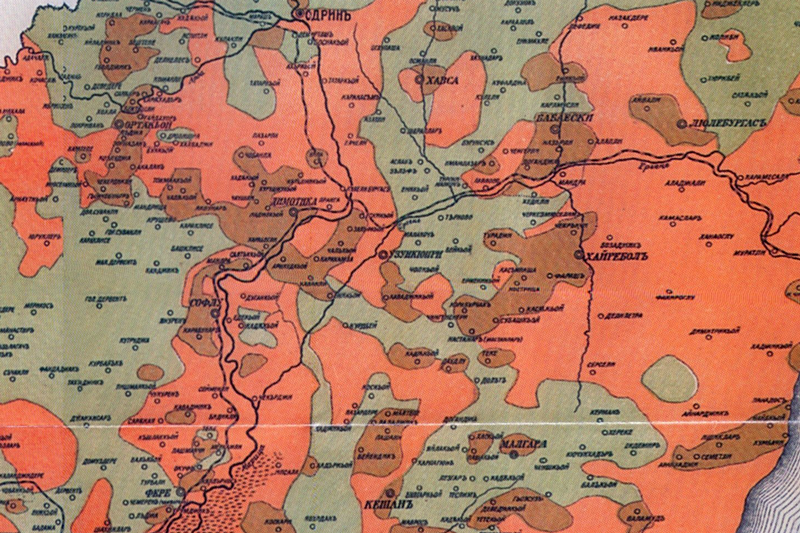
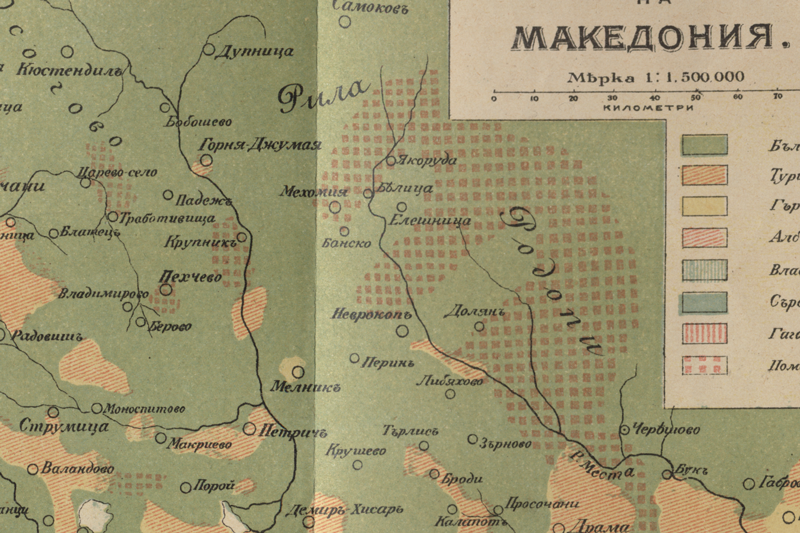
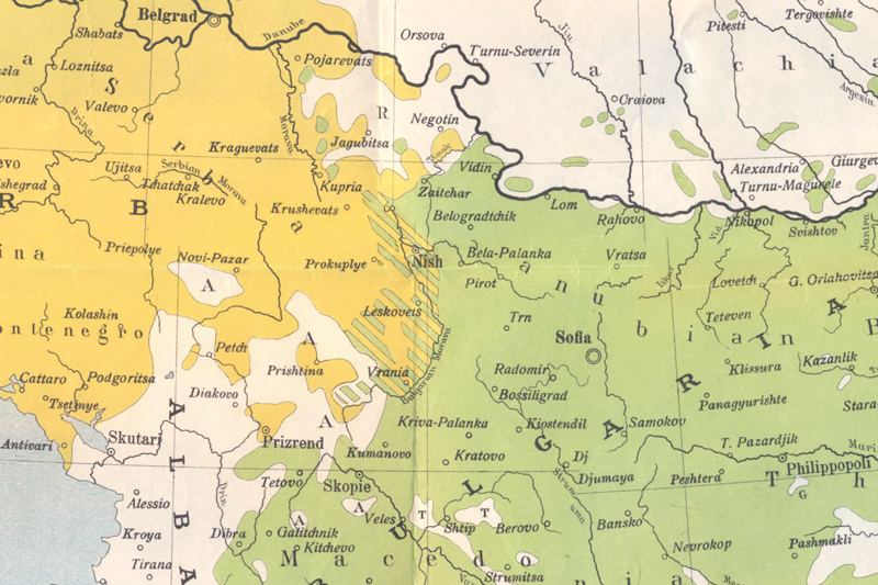
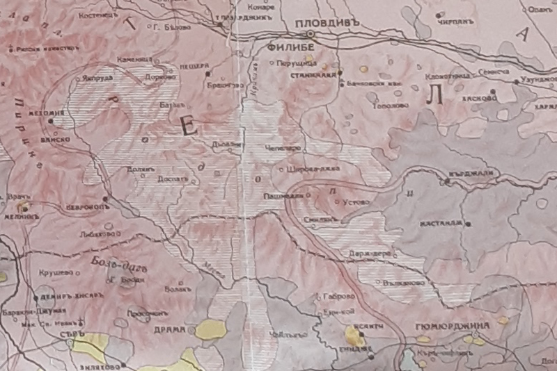
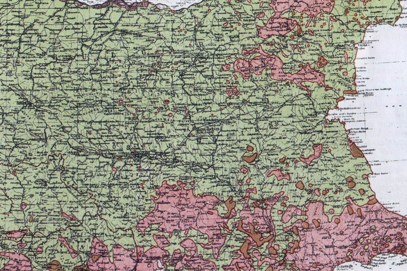
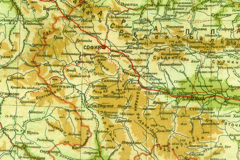
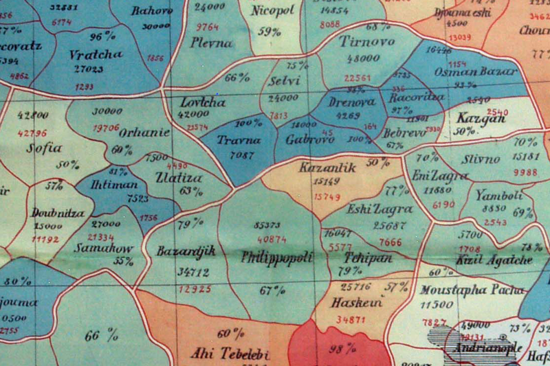
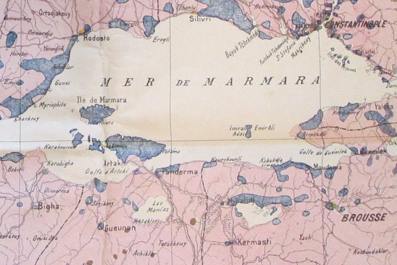
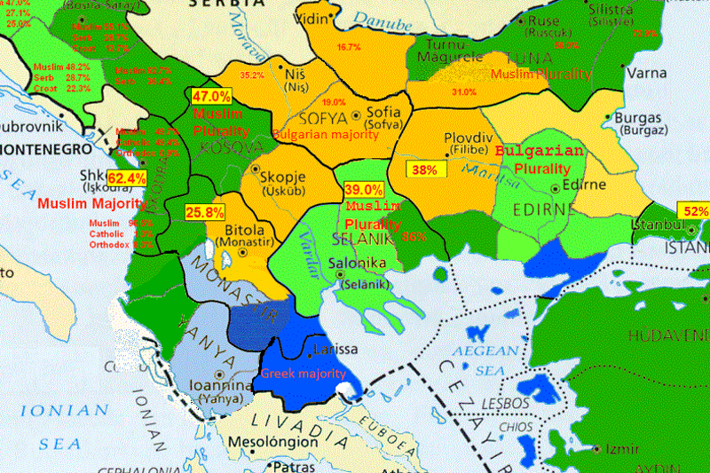
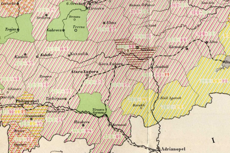
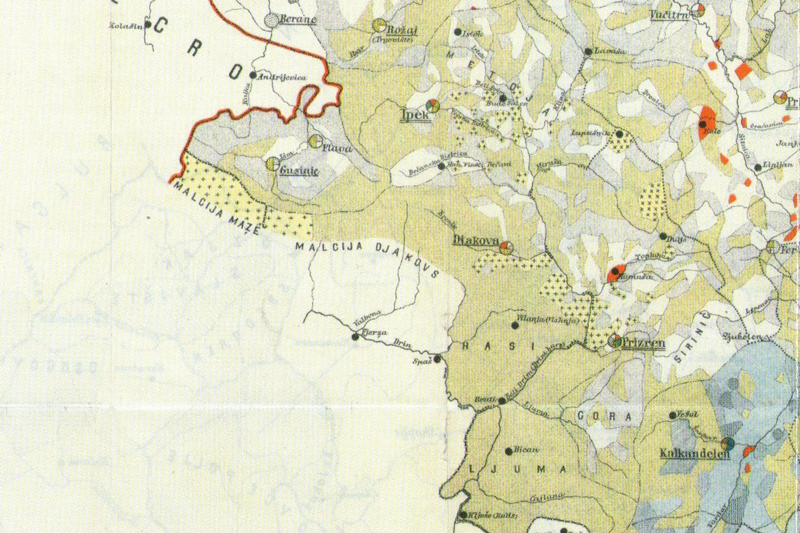
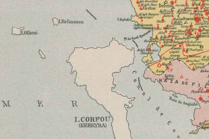
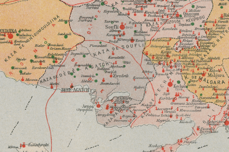
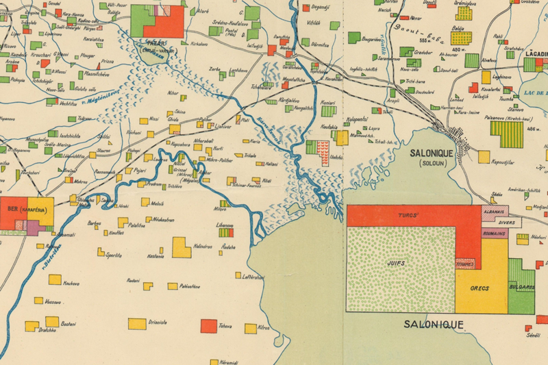
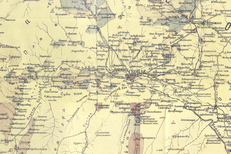
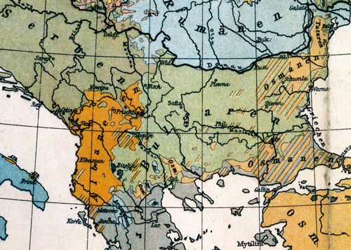
Map 4
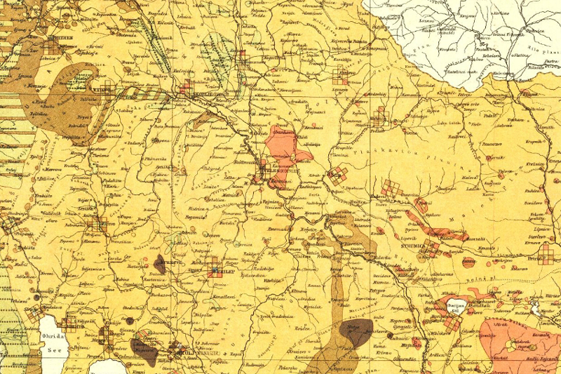
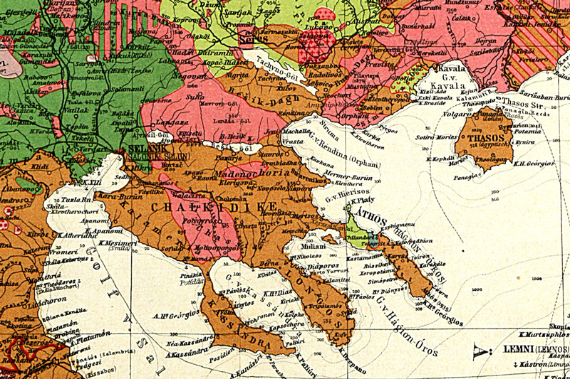
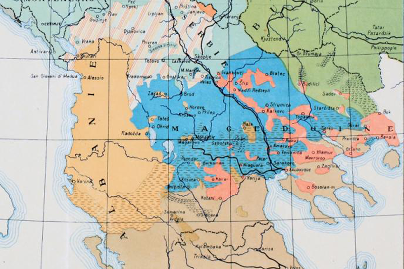
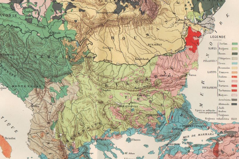
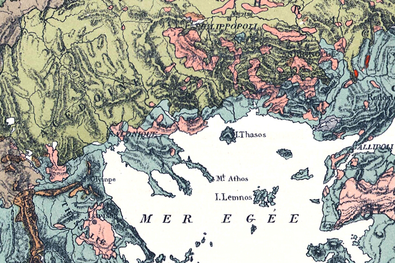
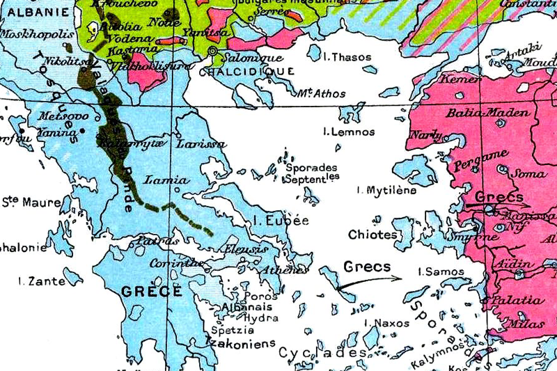
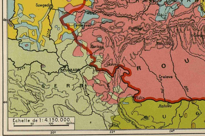
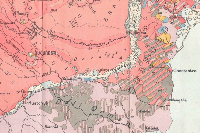
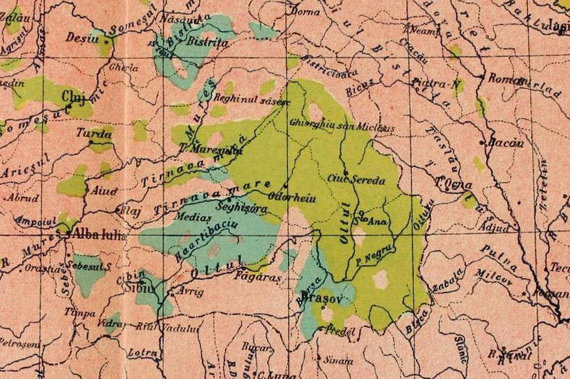
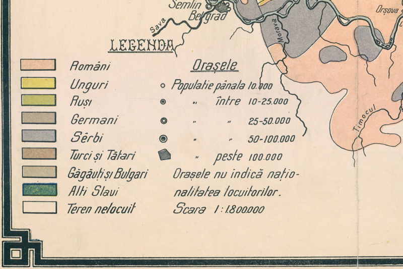
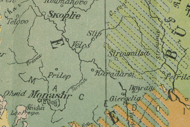
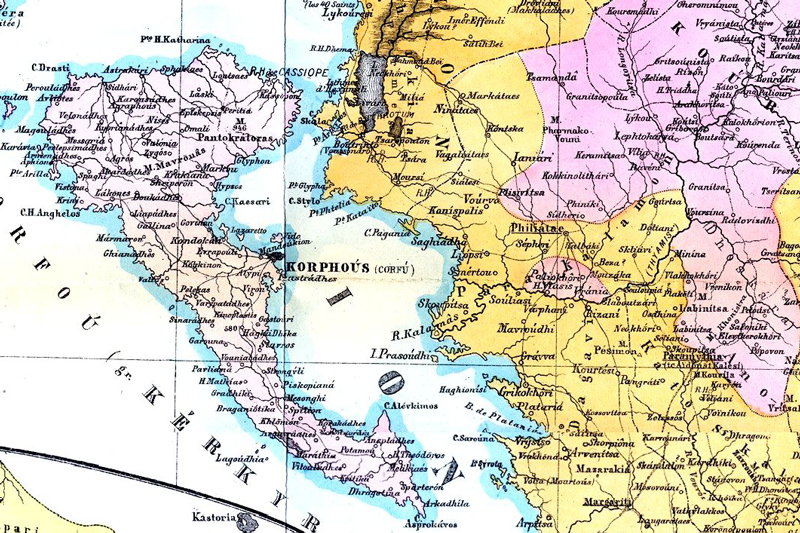
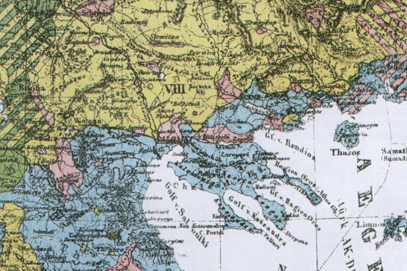
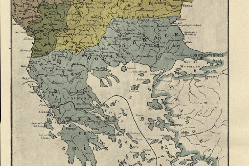
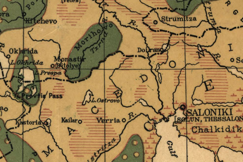
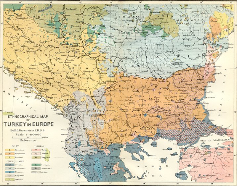
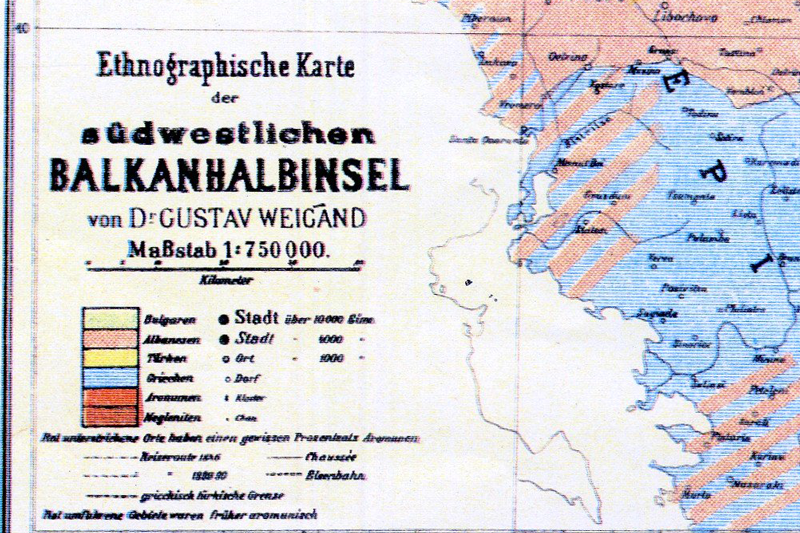
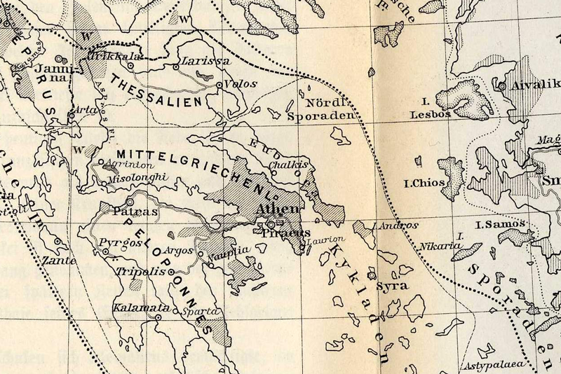
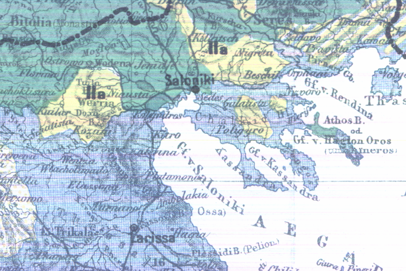
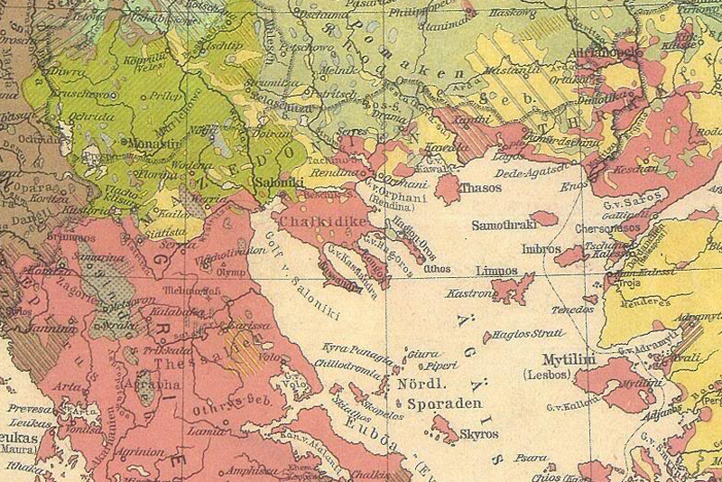
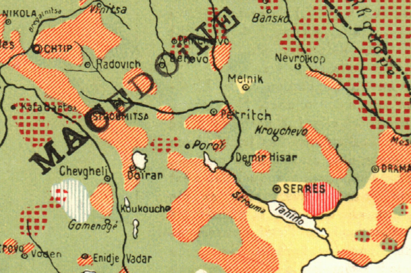
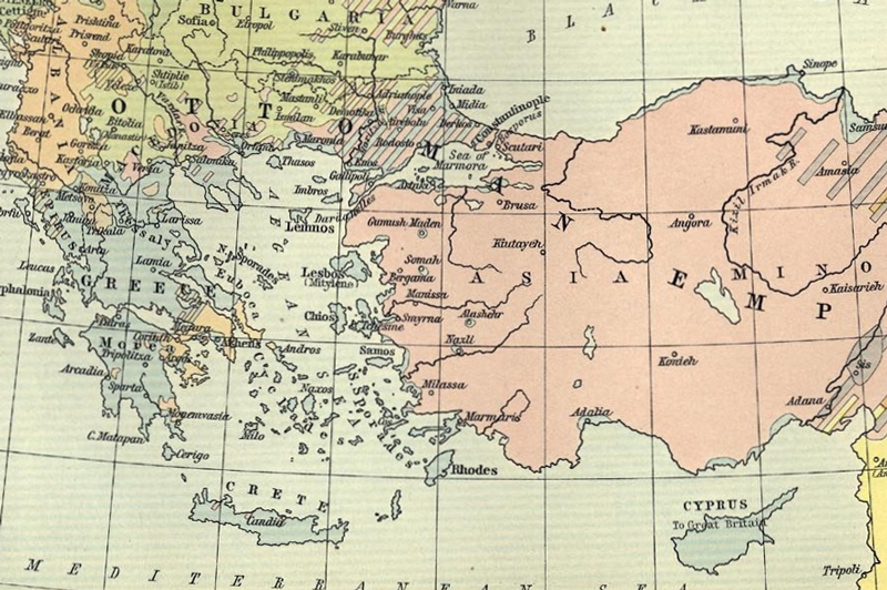
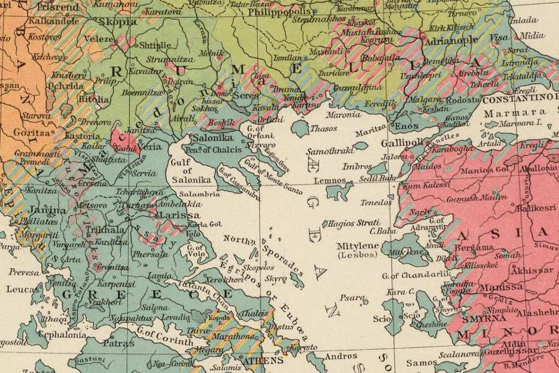
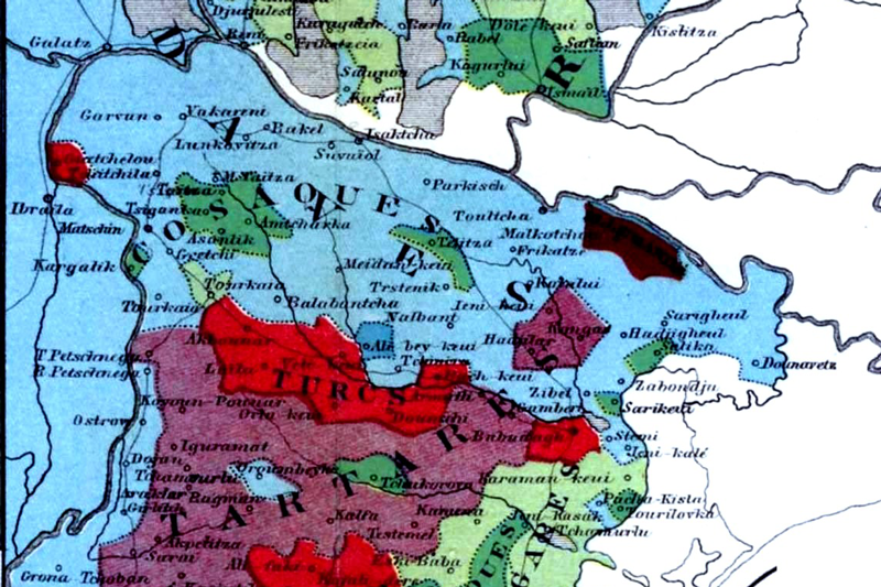
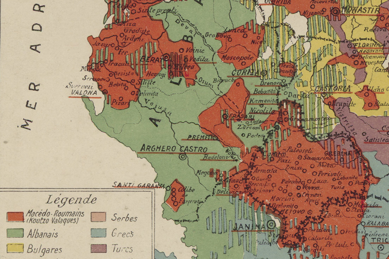
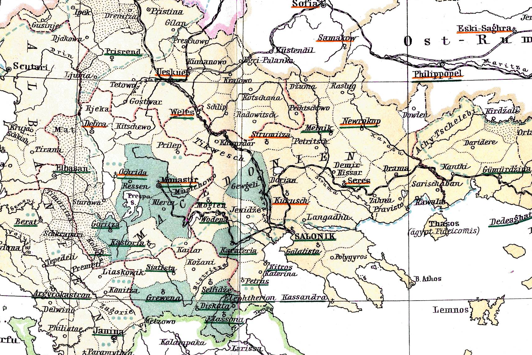
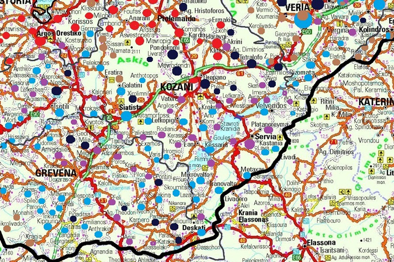
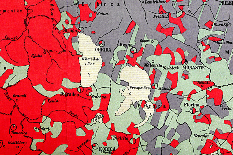
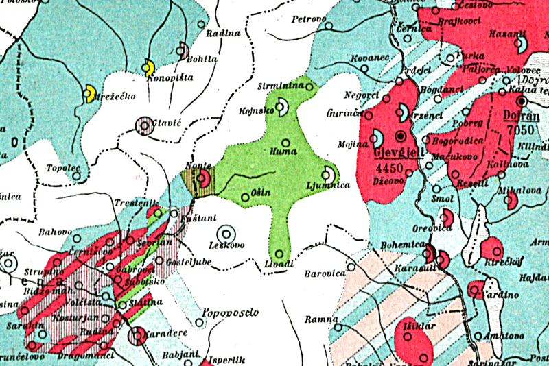
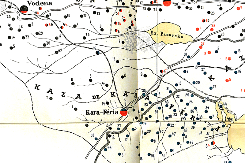
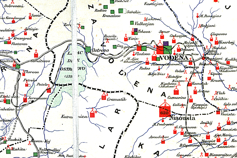
Ethnographic map of southern Macedonia, Epiros, Thrace (Phocas-Cosmetatos, Amadori-Virgili, 1908 and 1919)
See also Map 56
Source
In: Phocas-Cosmetatos, S. P: La Macédoine. Son passé et son present.
Etude histor., ethnograph. et polit. de la Macédoine, avec considérations sur les pays limitrophes et l'Hellénisme.
Lausanne 1919.; Amadori-Virgili, Giovanni: La questione rumeliota (Macedonia – Vecchia Serbia – Albania – Epiro) e la politica italiana. Garofalo 1908.
Map 17
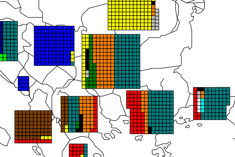
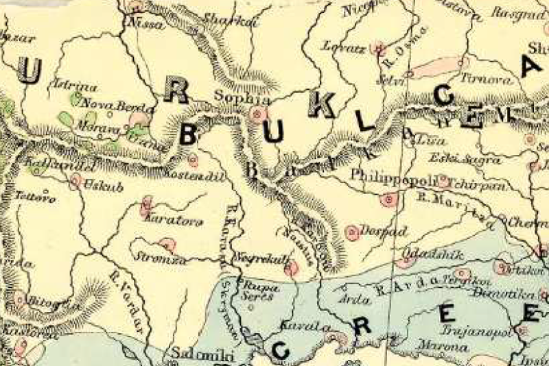
Fényes Elek's ethnographic map based on Ubicini's data (1850s 1 square = 1000 prs) (A Török Birodalom leírása statistikai és geographiai
Source
Own edition based on the data published in: Fényes, Elek: A török birodalom leirása. Történeti, statistikai és geographiai tekintetben
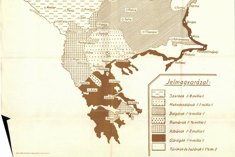
Map 20
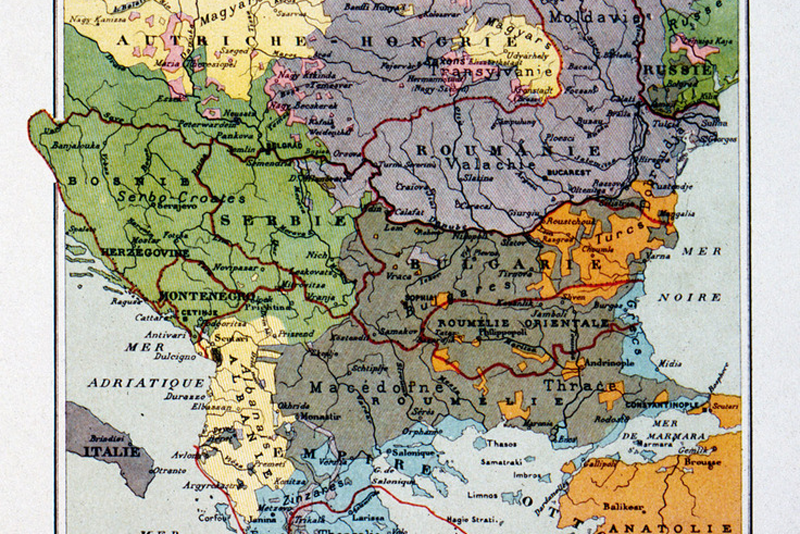
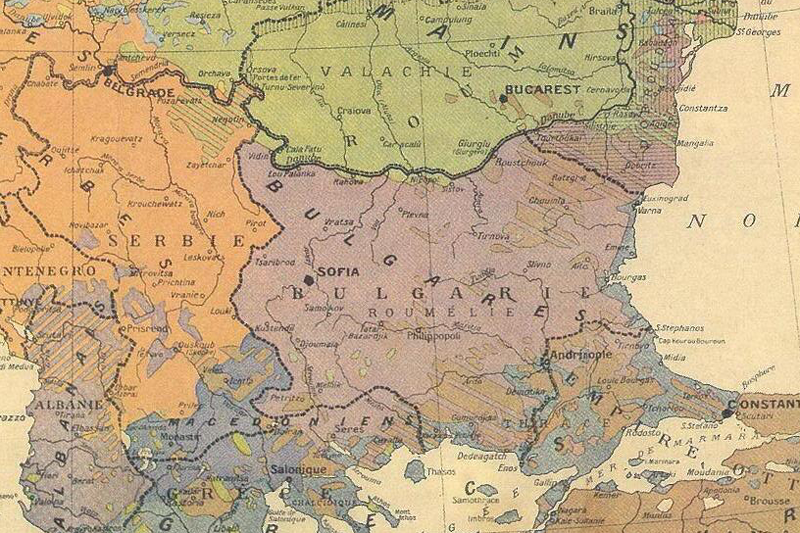
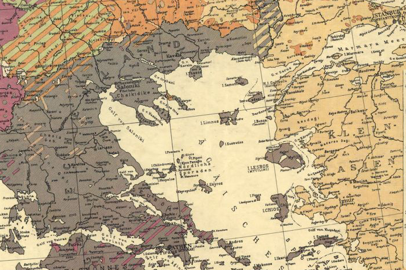
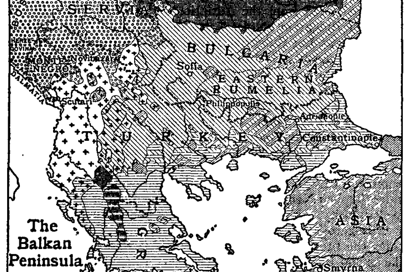
Ethnographic map of the Balkans (military usage - Magyar Katonai Közlöny, 1913)
Source
Magyar Katonai Közlöny, 1913 April
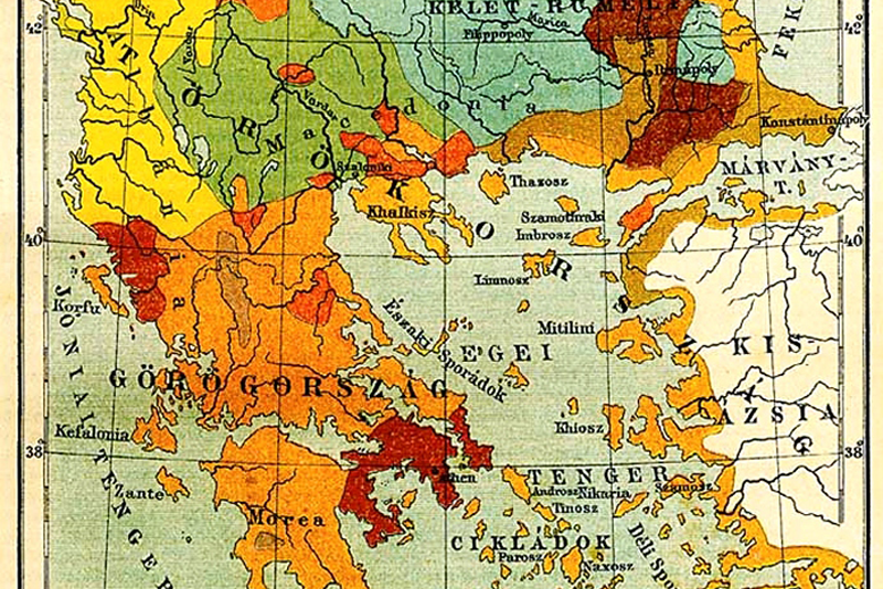
Map 24
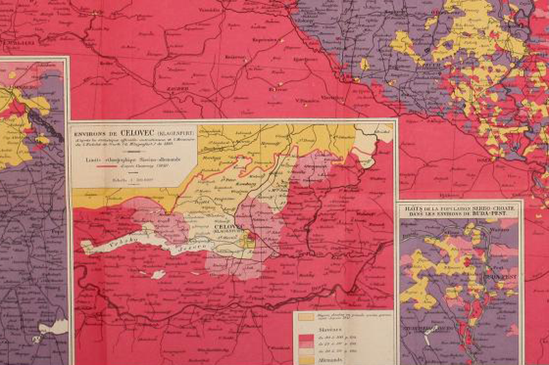
Ethnographic map of the Balkans (Hungarian geographer, Cholnoky, 1913)
Source
Földrajzi Közlemények 1913
Map 26
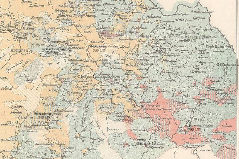
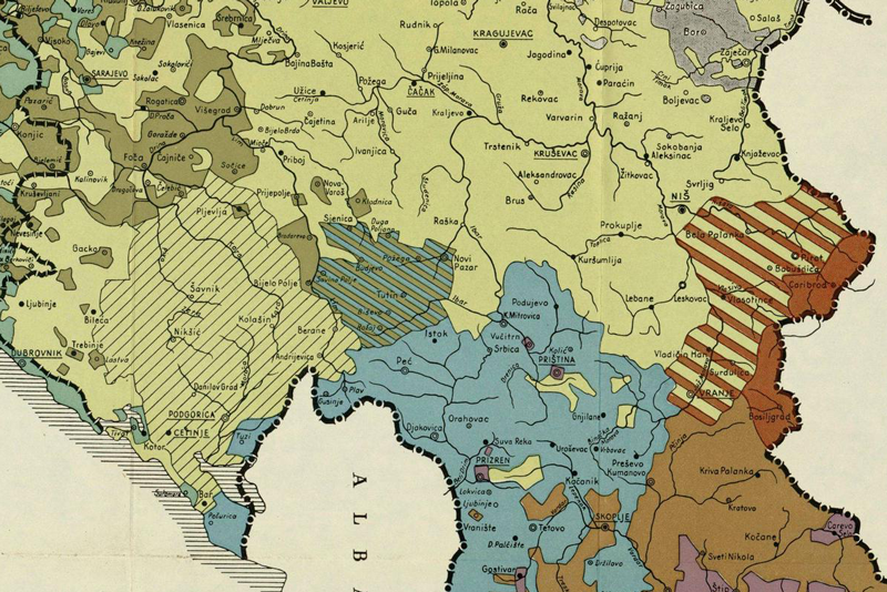
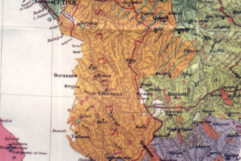
Ethnographic map of Kosovo by Joseph Müller (1840s)
Source
Müller, Joseph: Albanien, Rumelien und die österreichisch-montenegrische Grenze. Prague, 1844.
Map 53
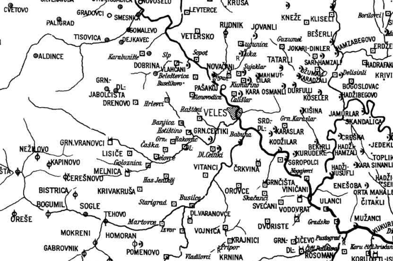
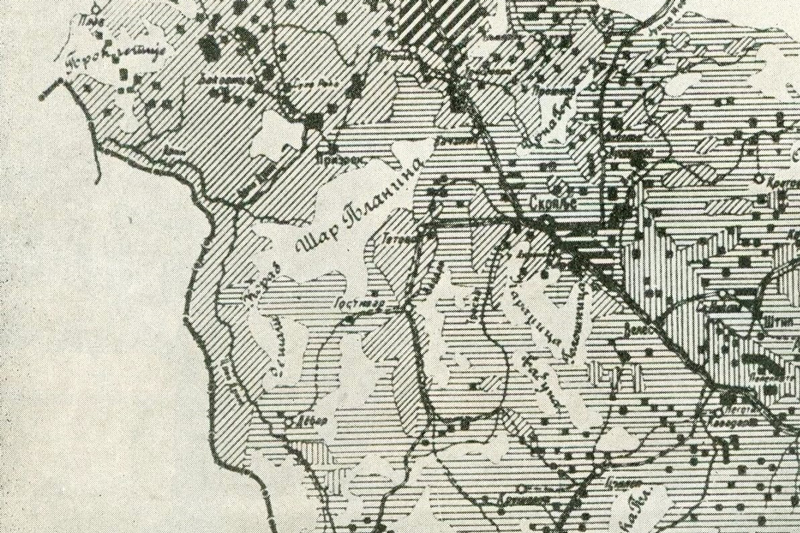
A settlement level Ethnographic map of Macedonia, Leipzig (L. Schulze Jena, 1920s)
Source
Wilkinson, Henry, R.: Maps and Politics. A Review of the Ethnographic Cartography of Macedonia. Liverpool Univ. Press, 1951, 251.
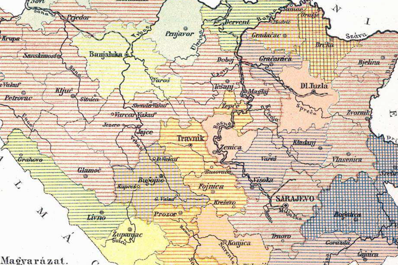
Map 61
A religious map of Bosnia-Herzegovina from the 1880s
Source
Asbóth, J.: Bosznia és Hercegovina. Budapest. 1887
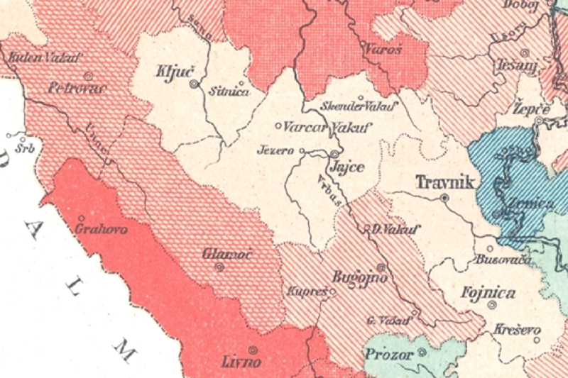
Map 62
Land tenure system in Bosnia from the 1880s
Source
Asbóth, J.: Bosznia és Hercegovina. Budapest. 1887
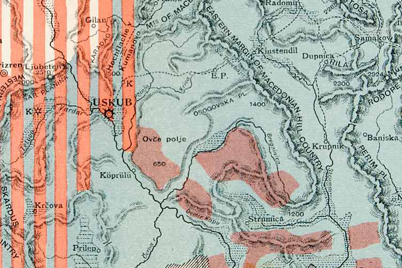
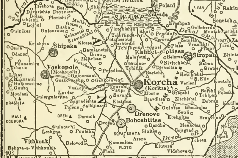
Map 64
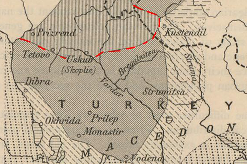
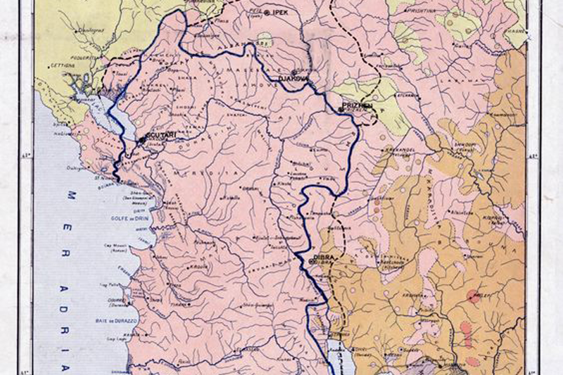
Ethnographic border between Albanians and Slavs in S-Albania
Source
Map by Lako, cited in Chekrezi, C.: Albania. Past and Present. New York, Macmillan, 1919.
Map 76
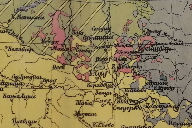
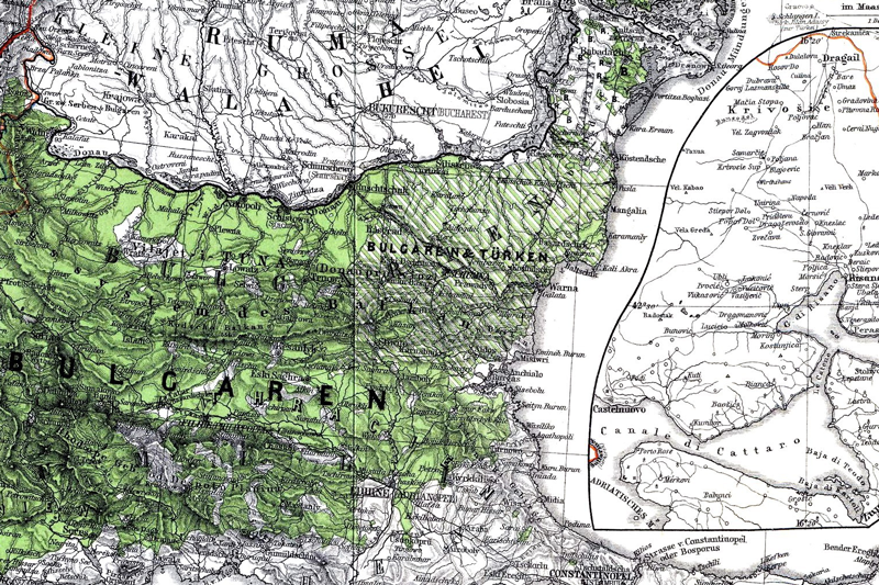
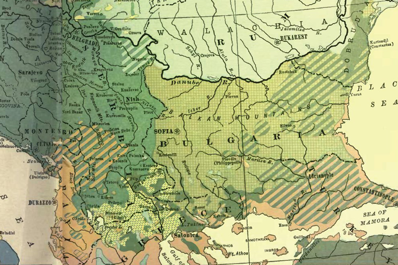
Bulgarian Ethnographic map of the Balkans showing the situation around 1877 – approved in 1936
Source
Markov, Georgi: Bălgariya i Balkanskiya săyuz sreshtu Osmanskata Imperiya, 1911-1913. Sofia: Izd. Zahariy Stoyanov, 2012.
Map 83
Ethnographic map of Kosovo vilajet prior to 1878
Source
Frantz, Anne, Eva: Gewalt und Koexistenz. Muslime und Christen im spätosmanischen Kosovo (1870-1913).
München: De Gruyter-Oldenbourg, 2016. (based on original sources of the HHStA)
Map 84
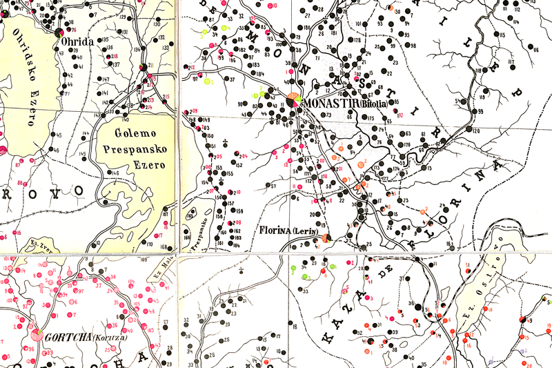
Settlement-level Ethnographic map of Monastir Vilayet, cca. 1900
Source
ÖStA HHStA, PA XII Türkei Liasse XXV. Kt. 272. /// Kartensammlung, Keller 3_7-3. Carte etnographique du Vilayet de Bitola (Monastir, 1901)
Map 85
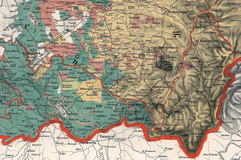
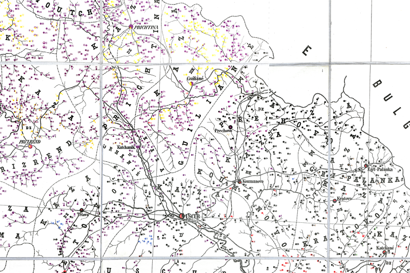
Settlement-level Ethnographic map of Kosovo Vilayet, cca. 1901
Source
ÖStA HHStA, Kartensammlung, Keller 3_7-3. Carte etnographique du Vilayet de Kosovo (1901)
Map 86
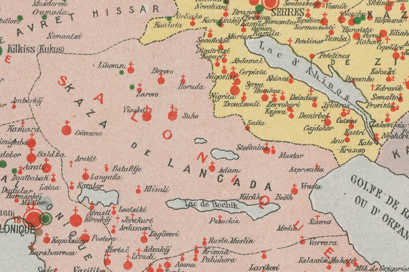
Schools and churches in Saloniki Vilayet (Phocas Cosmetatos, 1908)
Source
Phocas Cosmetatos: La Macédoine. Son passé et son present. Etude histor., ethnograph. et polit. de la Macédoine, avec considérations sur les pays limitrophes et l'Hellénisme. Lausanne: Payot, 1919
Map 87
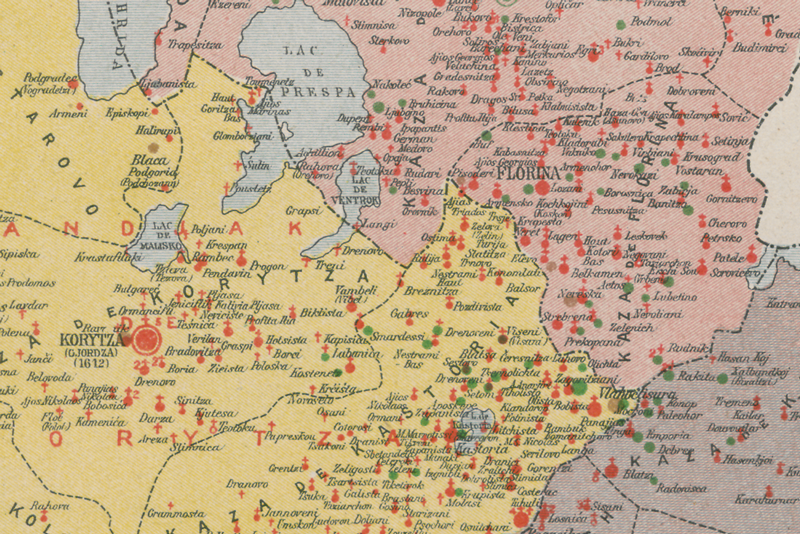
Schools and churches in Monastir Vilayet (Phocas Cosmetatos, 1908)
Source
Phocas Cosmetatos: La Macédoine. Son passé et son present.
Etude histor., ethnograph. et polit. de la Macédoine, avec considérations sur les pays limitrophes et l'Hellénisme.
Lausanne: Payot, 1920
Map 88
Schools and churches in Janina Vilayet (Phocas Cosmetatos, 1908)
Source
Phocas Cosmetatos: La Macédoine. Son passé et son present.
Etude histor., ethnograph. et polit. de la Macédoine, avec considérations sur les pays limitrophes et l'Hellénisme.
Lausanne: Payot, 1921
Map 89
Schools and churches in Edirne Vilayet (Phocas Cosmetatos, 1908)
Source
Phocas Cosmetatos: La Macédoine. Son passé et son present.
Etude histor., ethnograph. et polit. de la Macédoine, avec considérations sur les pays limitrophes et l'Hellénisme.
Lausanne: Payot, 1922
Map 90
Settlement level Ethnographic map of South-Macedonia (Ivanov, 1912)
Source
ÖSta HHStA, Kartensammlung, Keller_3_7-9 Carte ethnographique de la Macedoine du Süd...
Par le J. Ivanow, 1912 (Representant la repartition ethnique á la veille de la guerre des Balkans, 1912)
Map 91
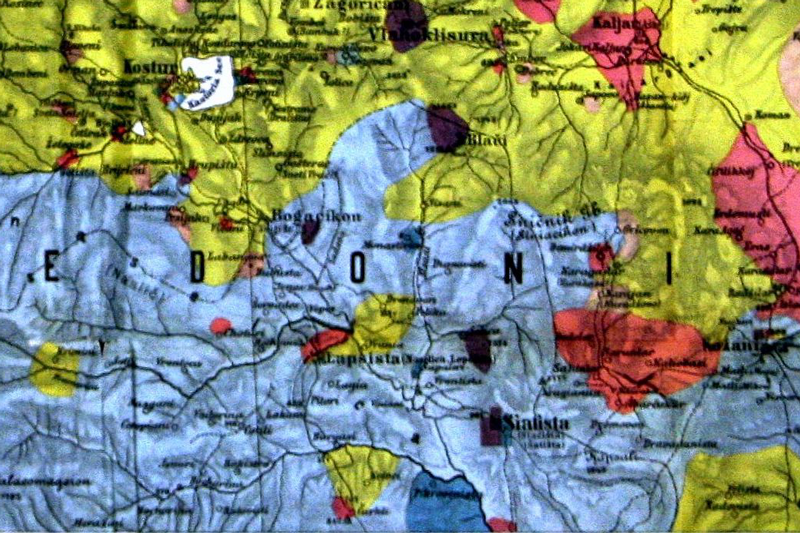
Patch map of Gopcevic in 1889 (Macedonia)
Source
Gopčević, Spiridon: Makedonien und Alt-Serbien. Wien: Seidel, 1889
Map 92
Religious map of Macedonia from 1877
Source
ÖStA HHStA, Kartensammlung, Keller 3_7-3 Religionskarte der Vilayete Kosovo, Saloniki.
Map 93
Patch map of ethnic majorities in Macedonia, 1905
Source
ÖStA HHStA, PA XII Türkei Liasse XXV. Kt. 272. Zur Detailbeschreibung von Makedonien. Beilage 4.
Map 94
Settlement-level Ethnographic map of Saloniki Vilayet, cca. 1901
Source
ÖStA, HHStA, PA XII Türkei Liasse XXV. Kt. 272. Carte etnographique du Vilayet de Saloniki
Map 95
Christian schools in Saloniki Vilayet, cca. 1901
Source
ÖStA, HHStA, PA XII Türkei Liasse XXV. Kt. 273
Map 97
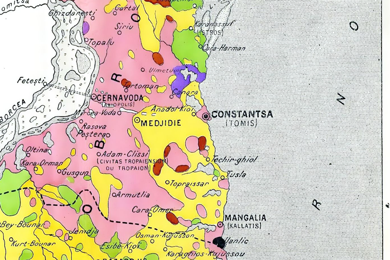
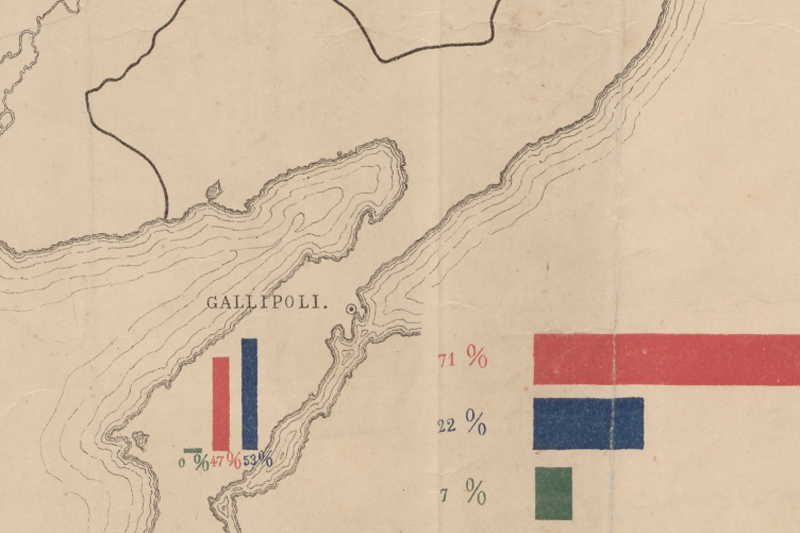
Ethnographic map of Thrace (Ottoman), 1910s
Source
In: Başbakanlık Osmanlı Arşivi, Istanbul (BOA), HRT_h_0234_A_00001
Map 98
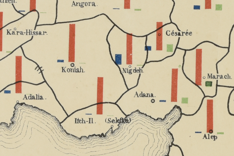
Ottoman ethnographic maps on Anatoly cca. 1914
Source
BOA, HRT_h___00408_a, b, c
Map 99
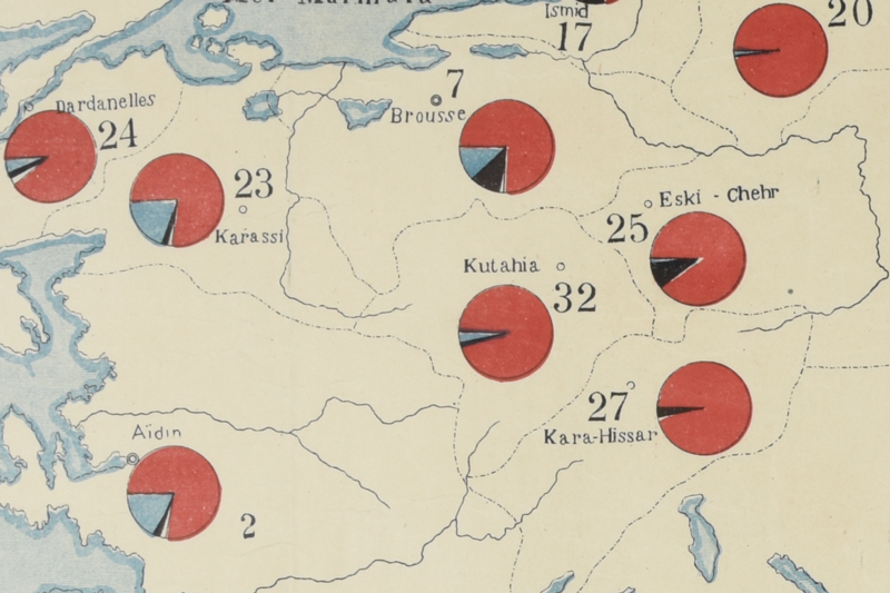
Ottoman pie chart map on Anatoly, cca 1914
Source
BOA, HRT_h___00408_e
